New international tools are asking a practical question: where can a community strengthen its ability to cope before water becomes scarce?
Knowing that a dry period is coming is useful. Knowing what to do next can be harder. A community may have a weather warning but need better water infrastructure, a way to protect livelihoods or a plan that brings several public services together. Preparation begins by understanding those connections.
Edgar Gutiérrez-Espeleta encountered that problem as Costa Rica’s environment minister during a severe drought in 2015. In an account published by the UN Convention to Combat Desertification, he describes the difficulty of prioritising urgent decisions across sectors without a clear overview. That experience helped shape his work on a new Drought Resilience Index.
The idea is straightforward: make it easier to see where the ability to cope is weakest, so action can begin before the situation becomes a crisis.
Look beyond the weather
The index sits within the International Drought Resilience Observatory, developed under the International Drought Resilience Alliance with UNCCD, Yale researchers and other partners. A second, beta phase of the observatory was introduced at the August 2026 UN land conference in Mongolia.
According to UNCCD’s 18 September update, users can explore anticipation, preparation and adaptation across four domains: the natural environment, the built environment, people and communities, and the economy. Country profiles and underlying data are intended to help people understand what lies behind a score.
This is a wider view than a rainfall chart. A water network’s reach, the condition of a watershed and the vulnerability of livelihoods describe different parts of the same community’s ability to respond. Looking at them together can help turn a general concern into a more specific priority.
The platform remains in beta. It is a tool intended to improve decisions, rather than evidence that drought losses have already been reduced by its use.
Turn a priority into practical work
Information also needs a route to implementation. At the same conference, Luxembourg and UNCCD launched the Drought Resilience Investment Facility, designed to help bring public and private capital into commercially viable projects that strengthen resilience.
The 26 August announcement sets an ambition to mobilise up to US$400 million. Its focus connects water security, sustainable agriculture, land restoration and nature-based approaches through their contribution to drought preparedness. That is a financing ambition, not a statement that the full amount has already reached projects.
Separate work is advancing on a proposed pooled fund under the Riyadh Global Drought Resilience Partnership to support around seventy low- and lower-middle-income countries. Saudi Arabia pledged US$150 million to that fund at the previous conference. The distinction between commitments and money put to work matters, while the direction is clear: preparedness needs resources as well as plans.
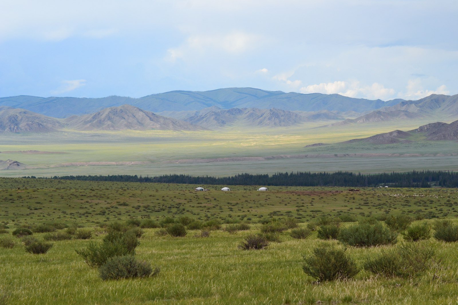
Resilience is a local experience
For the people affected by drought, success will be felt in practical ways. It may mean a service that continues functioning, a livelihood less exposed to one source of water, or a better-understood landscape that can be cared for before damage deepens. Different places will need different combinations of measures.
That makes local experience essential alongside international data. A national profile can point towards a weakness; the people using a water system or managing land can explain how that weakness appears in daily life. The most useful planning brings those perspectives together.
The new tools and financing initiatives offer ways to start that conversation earlier. Their promise is a more ordinary, less dramatic kind of progress: decisions made while there is still time to prepare, and care for people and landscapes before the warning becomes an emergency.
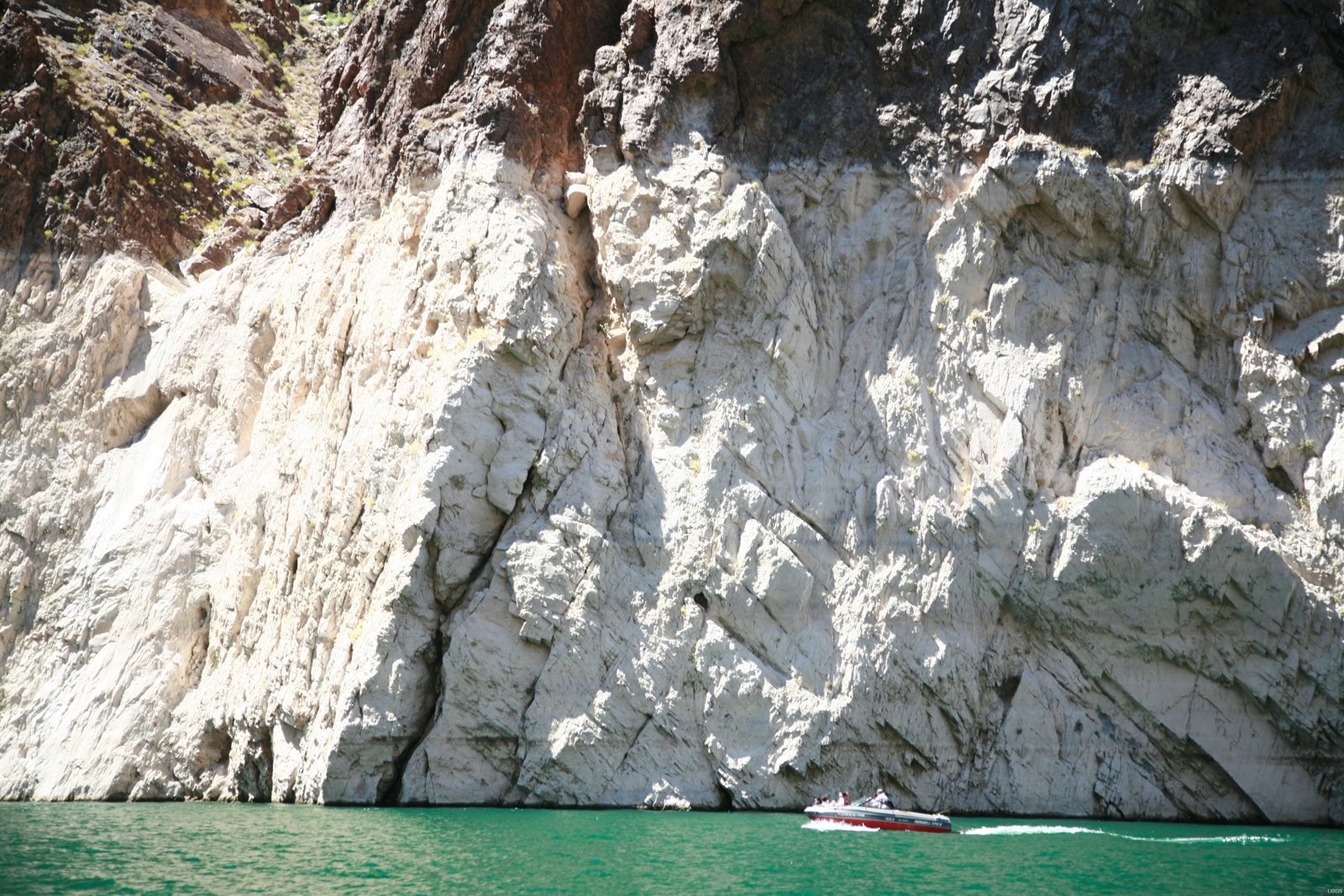
Lead image: Low water at Lake Mead in an archival photograph taken on 13 June 2010. The image illustrates drought and does not show current conditions. U.S. Geological Survey / Wikimedia Commons, CC0.